Harper Werner · 6 October 2026
Community Programs Track Mackerel Migration Patterns Alongside Nitrate Level Changes in Coastal Waters
Researchers have established connections between shifts in mackerel migration routes and increases in nitrate concentrations through coordinated community data collection efforts that span multiple coastal regions. These programs rely on local volunteers who record fish sightings, water chemistry readings, and seasonal movement data on standardized platforms, and the resulting datasets allow scientists to analyze correlations over time. Data collected through October 2026 shows mackerel schools altering traditional paths in areas where nitrate readings climbed above baseline thresholds recorded in prior years.
How Volunteer Networks Gather Marine Data
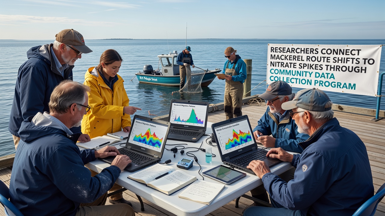
Local participants receive training in sampling techniques and use mobile apps to log observations at fixed intervals, which creates consistent records across different sites. Teams measure nitrate levels with portable test kits while noting mackerel presence through visual surveys and sonar reports from small vessels, and this dual approach produces paired datasets that researchers then cross-reference. Programs operating in the Pacific Northwest and parts of northern Europe follow similar protocols, which allows comparison across ocean basins.
One group operating along the Canadian Atlantic coast documented a northward displacement of mackerel schools during summer months when nitrate concentrations rose by 15 percent compared with averages from 2020 through 2023. The same volunteers recorded corresponding changes in prey species distribution, and researchers linked these patterns through statistical models that account for temperature and salinity variables as well.
Connecting Migration Routes to Nutrient Spikes
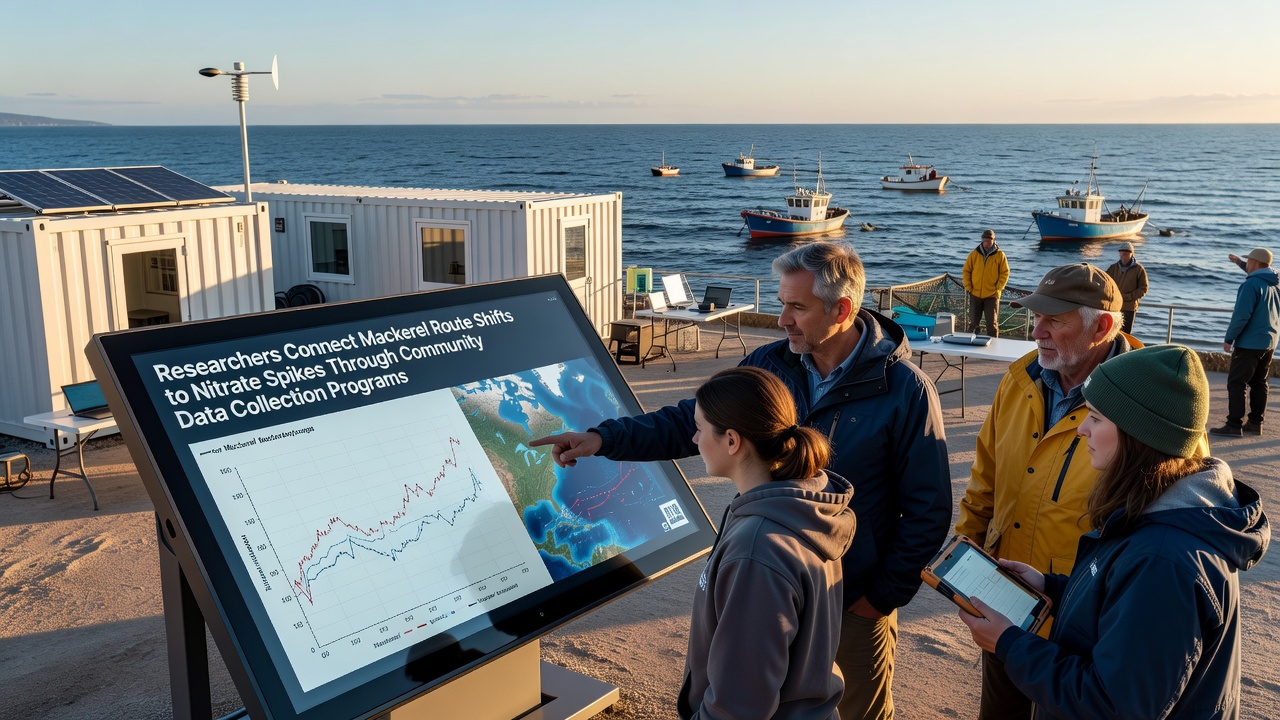
Analysis of the aggregated records indicates that mackerel route adjustments coincide with nitrate elevations in surface waters, particularly near river outflows and agricultural runoff zones. Scientists at institutions such as those affiliated with NOAA have applied spatial mapping tools to overlay fish movement data with nutrient readings, and the resulting visualizations highlight clusters where elevated nitrates align with altered migration corridors. These findings build on earlier work that identified nitrate as a driver of phytoplankton blooms, which in turn affect the food web supporting mackerel populations.
Community datasets from October 2026 reveal repeated instances of schools bypassing established feeding grounds when nitrate levels exceeded 8 milligrams per liter, and participants noted increased sightings in adjacent areas with lower concentrations. Researchers cross-checked these reports against satellite imagery of chlorophyll concentrations, which serves as a proxy for bloom activity, and the alignment strengthened the observed relationship between nutrient spikes and route changes.
Regional Comparisons and Supporting Evidence
Similar patterns appear in records from Australian coastal monitoring groups, where mackerel equivalents show comparable responses to nitrate inputs from urban and farming sources. Data shared through international networks enables researchers to test whether the same thresholds trigger shifts across species and latitudes, and preliminary results suggest consistency in the relationship despite differences in local oceanography. The European Environment Agency maintains parallel repositories that community programs in the North Sea contribute to, which further expands the geographic scope of available observations.
Case examples include a volunteer network in the Gulf of Maine that logged a three-week delay in mackerel arrival during periods of elevated nitrate, and the same group recorded subsequent recovery of normal timing once levels declined. Another effort along the Scottish coast documented schools moving into deeper offshore waters when nearshore nitrate readings spiked following heavy rainfall events that mobilized agricultural nutrients. These individual accounts feed into larger statistical analyses that control for confounding factors such as fishing pressure and ocean temperature anomalies.
Role of Standardized Collection Methods
Community programs emphasize uniform data formats and calibration checks to ensure comparability, and training sessions cover proper sample handling to minimize measurement error. Participants submit raw readings alongside metadata on weather and tidal conditions, which allows analysts to adjust for natural variability before examining nitrate-mackerel linkages. The resulting quality-controlled datasets support peer-reviewed publications that quantify the strength of observed correlations.
Researchers note that continued expansion of these networks increases the resolution of spatial and temporal coverage, particularly in under-sampled bays and estuaries. Ongoing work focuses on integrating acoustic telemetry tags with community sighting reports to validate route data, and early trials show improved accuracy when both sources are combined. October 2026 submissions already incorporate these hybrid methods at several pilot sites.
Conclusion
Community data collection programs have supplied the volume and granularity of observations needed to identify connections between mackerel route shifts and nitrate concentration increases across multiple regions. Coordinated sampling of fish movements and water chemistry through October 2026 has produced datasets that researchers continue to examine for causal mechanisms and predictive applications. These efforts demonstrate how distributed monitoring networks contribute measurable inputs to marine science when protocols maintain consistency and data undergo rigorous validation.